Sponsoring companies


![]()
![]()
![]()


Magnetic inversion
Magnetic measurement data indicates local variation in the Earth’s magnetic field. This observed variation (anomalies) is caused by magnetic minerals in the bedrock. Magnetic minerals’ physical properties (magnetic susceptibility and remanent magnetization) and distribution in the bedrock define the magnitude and shape of each anomaly.
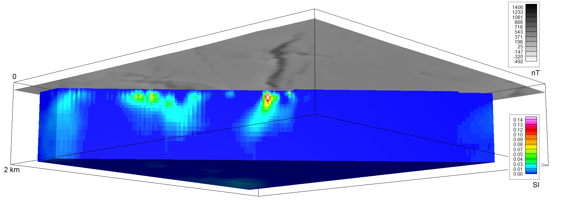
The magnetic data used in the project was acquired in GTK’s airborne mapping programme that ended in mid-2000s. The anomalies are interpreted with 3D inversion, which is a method for producing such a sub-surface property distribution that would result in the observed anomaly. These physical subsurface models helps delineate magnetic rock units and, together with other geophysical interpretation methods, supports geological 3D modelling.

An example cross-cut of a 3D magnetic inversion result. Measurement data in greyscale, 3D inversion result in color.


